The voyage · a game
Off in a Boat
Take the helm of the Thistle from Duntulm, at the north end of Skye, down the west coast of the island, south to Oban and then up the Caledonian Canal to Loch Ness, following Neil Gunn’s Off in a Boat, which Mike retraced in 2014. The chart scrolls with you and the coast is drawn from real shoreline data, so the channels are as narrow as they really are.
Portnalong
Sightings
- Dolphins
- Seal
- Basking shark
- Minke whale
- Gannets
- Gulls
Steer close to wildlife to add it to your log.
Helm
← / A steers to port and → / D to starboard; P or Space pauses. Port and starboard are the boat’s own left and right, so when she heads south, starboard is west. On a phone, hold the buttons, or the left or right half of the chart. The small map in the corner shows how far you have come.
Watch the water
Lobster pots snag the boat, rocks damage the hull, whirlpools tug at the helm and overfalls throw you around. None of the sea-life will hurt you: sail close to a seal, a pod of dolphins, a basking shark, a whale or a gannet and it scores you points. In the narrows there is little room to dodge: a cross-tide pulls you sideways, and scraping the walls damages the hull. Keep to the middle. Once you are in the canal there is nothing to dodge at all. You wait, at Neptune’s Staircase and again at the swing bridge, and the wait increases your score.
The voyage underneath the pixels
The route
From the archive
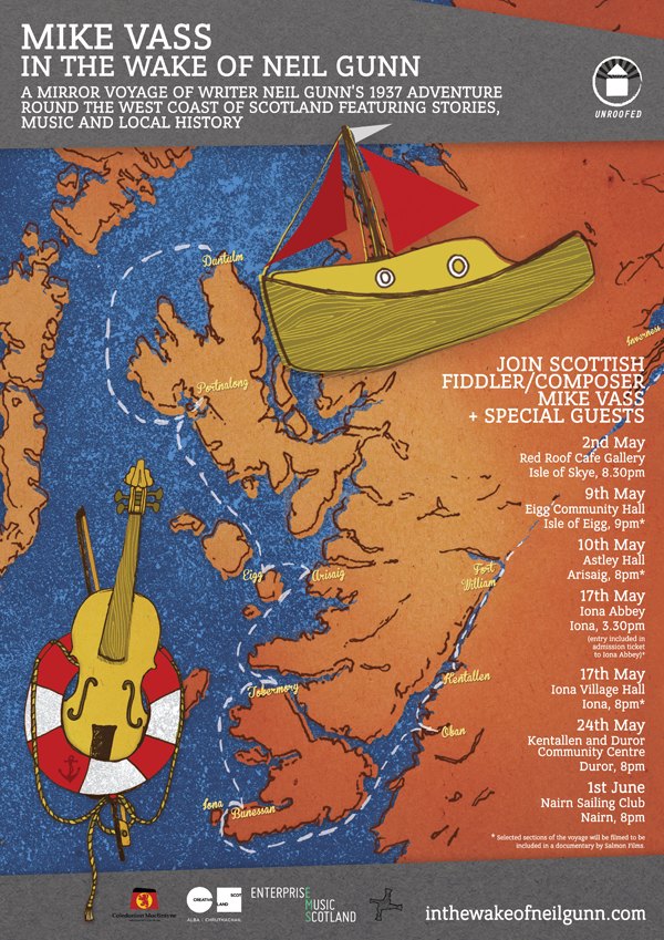
The 2014 route poster
The tour poster for the 2014 retracing, kept as an archive object. The dates on it are on the In the Wake of Neil Gunn page.
Soundtrack for the voyage
The chart in this game is simplified, and not for navigation. The coastline is drawn from GSHHG shoreline data at true proportions and every leg was routed through navigable water, but hazards, timing and distances are compressed for play. GSHHG is a shoreline dataset and has no canals in it, so the cuts at Banavie and Laggan were drawn in by hand along the real line, and the channel is exaggerated in width (as, for that matter, is the boat). The voyage ran Duntulm, Portnalong, Eigg, Arisaig, Tobermory, Bunessan, Iona, Oban, Kentallen, up the Caledonian Canal and out at Bona on Loch Ness, and the game now sails all of it.